
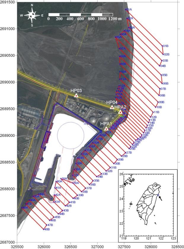
施測範圍及規劃測線
儀器介紹
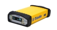
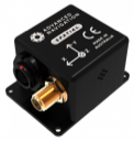
Trimble SPS361 Modular GPS Heading Receiver
The Trimble SPS361 GPS Heading Receivers offer numerous benefits for marine construction contractors, including:
- Rapid deployment, easy integration
- High-precision, dual-frequency GPS heading with fast initialization
- Data to easily determine the position of other sensors on a vessel
- Support for a range of correction services to provide the position accuracy you need

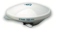
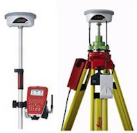
Trimble GA530 Antenna
Key features of the Zephyr 2:
- Optimized for GNSS rover applications
- Comprehensive GNSS support, including GPS Modernized signals, GLONASS, and Galileo
- Robust low-elevation satellite tracking
- Minimized multipath
- Sub-millimeter phase center repeatability
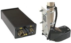
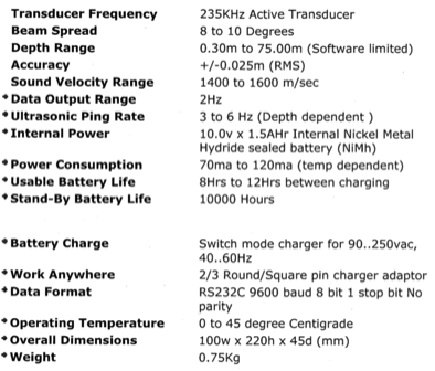
Sonarmite specifications
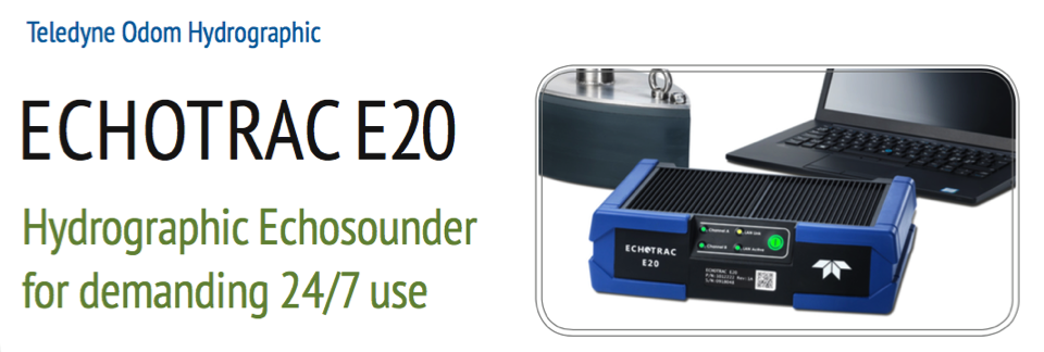
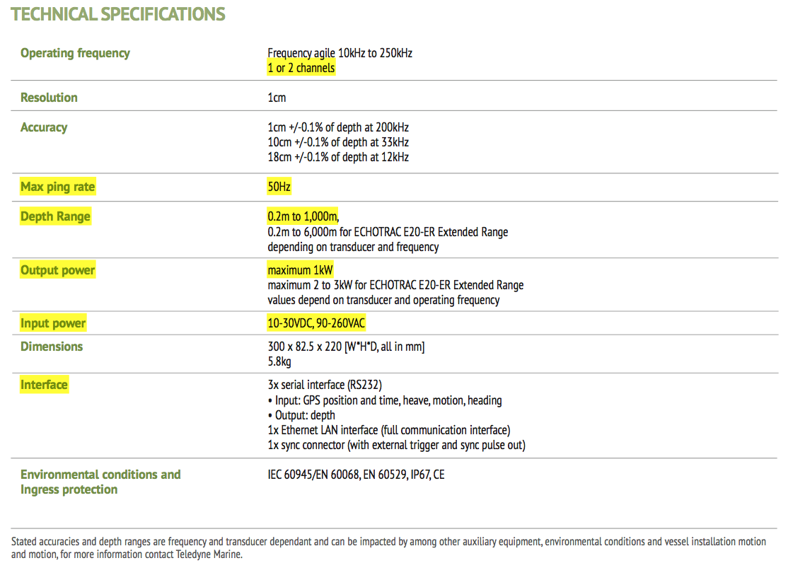
Spatial Datasheete
Leica GS09 GNSS Datasheet
- The SmartWorx field software is based on the proven and familiar concept of the Leica System 1200. Made even easier to use with icon-based menus, ensures instant productivity.
- The extremely light-weight and cable free rover is comfortable to use for the entire day. Built exceptionally rugged, the rover withstands rough use and topple overs.
- The easily setup RTK base station requires only the GS09 SmartAntenna, a radio modem and battery. By connecting the CS09 Controller, raw satellite data can be logged.
- The Leica GS09 works perfectly in all reference networks. The network corrections can be received with Leica GSM/CDMA modules or by using your mobile phone.
- Leica TPS instruments can be combined with the GS09 SmartAntenna into one easy-to-use instrument
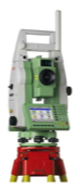
Leica TCR1201
Leica-DNA03-Brochure
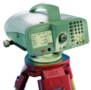
- The generous LC-display presents all important measured data at a glance and shows the next step to take.
- Double your data safety: from now on, save your work automatically in the internal memory and additionally, after the measurements have been taken, on a PCMCIA card.
- The alphanumeric keyboard and the operating concept provide the highest levels of efficiency at work, optimum comfort and rapid familiarization.
- Save up to 50% in time with Leica digital levels.
- Measuring without mistakes or fatigue.
- Leica Infinity office software provides all the tools you need to visualise and manage level height observation campaigns in a very easy-to-use environment. The optional processing and 1D adjustment option lets you split or join level lines, process the level line heights and perform 1D level network adjustments, including the creation of detailed reports to print or share.